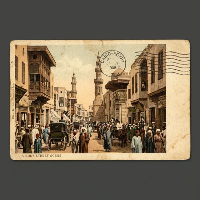
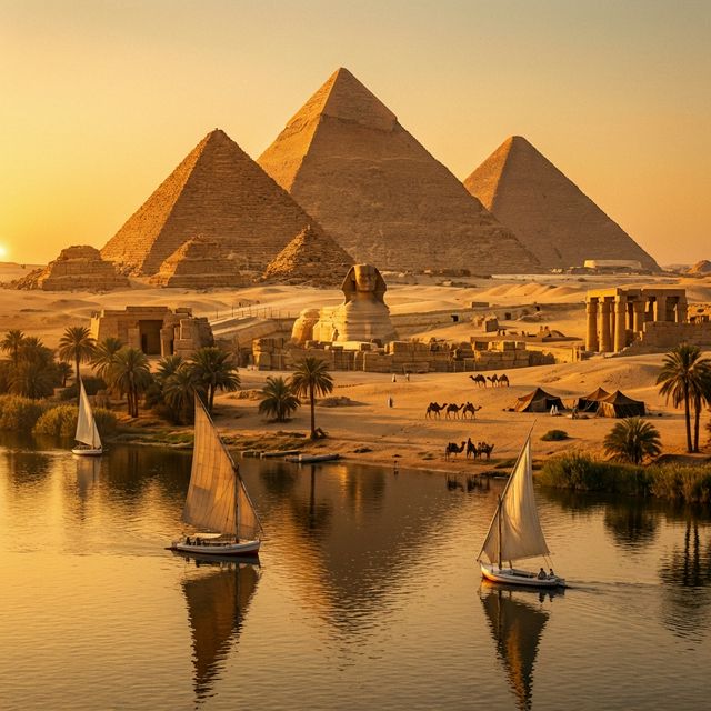
Explore centuries of Egyptian heritage through interactive maps, historic postcards, and archival collections β all digitized and freely accessible.
Advanced GIS technology bringing historical urban fabric to life with detailed spatial data and multi-layer analysis.
Documenting and archiving Egypt's architectural and cultural heritage before it's lost to time and urban development.
Making heritage data freely available to researchers, urban planners, students, and anyone passionate about Egyptian history.
Browse a curated collection of vintage Egyptian postcards spanning over a century. Filter by era, location, series, and more. Each card tells a story of Egypt's past.
An interactive GIS-powered map of historic Cairo featuring over 214,000 heritage features across streets, landmarks, buildings, and building objects. Explore the urban fabric of medieval Islamic Cairo.
Dive into centuries of Egyptian heritage β from vintage postcard galleries to interactive heritage maps.